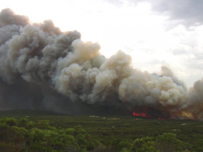
In the Australian landscape, bushfire presents a significant and increasing threat to human life and property but concomitant to this threat is a considerable scope for creative endeavour.
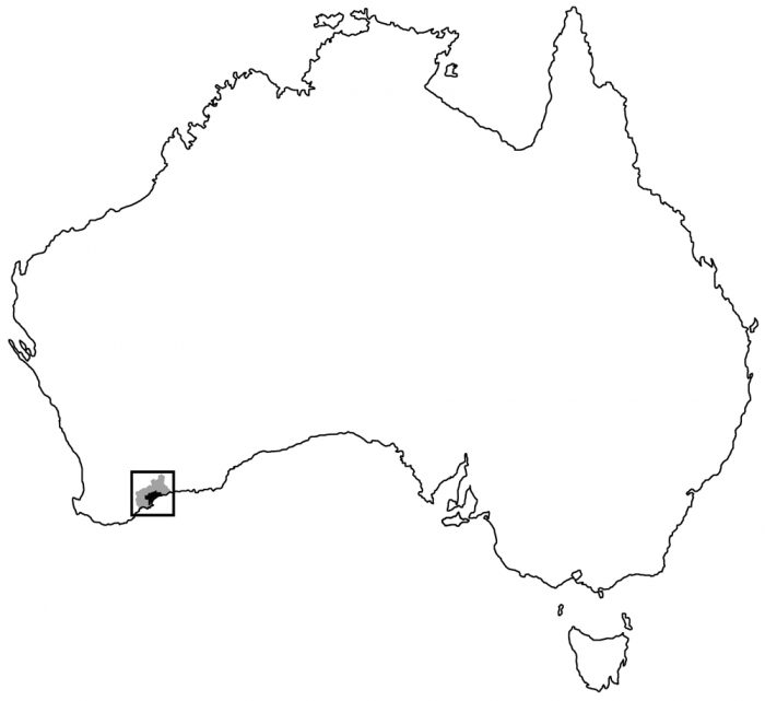
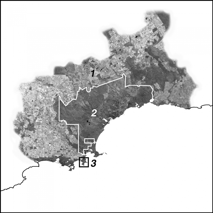
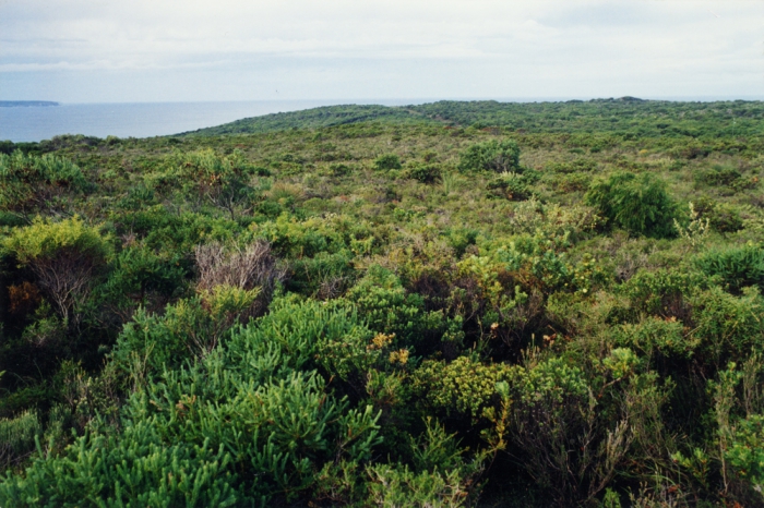
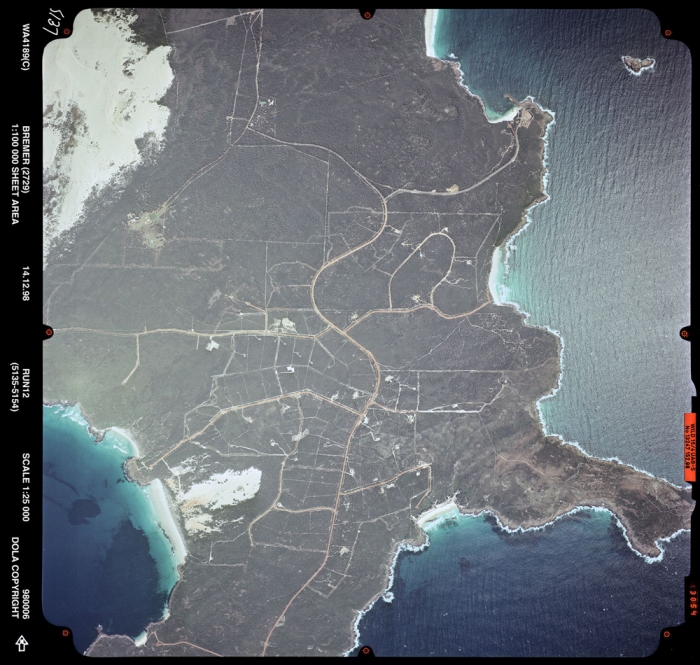
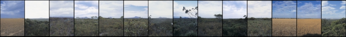
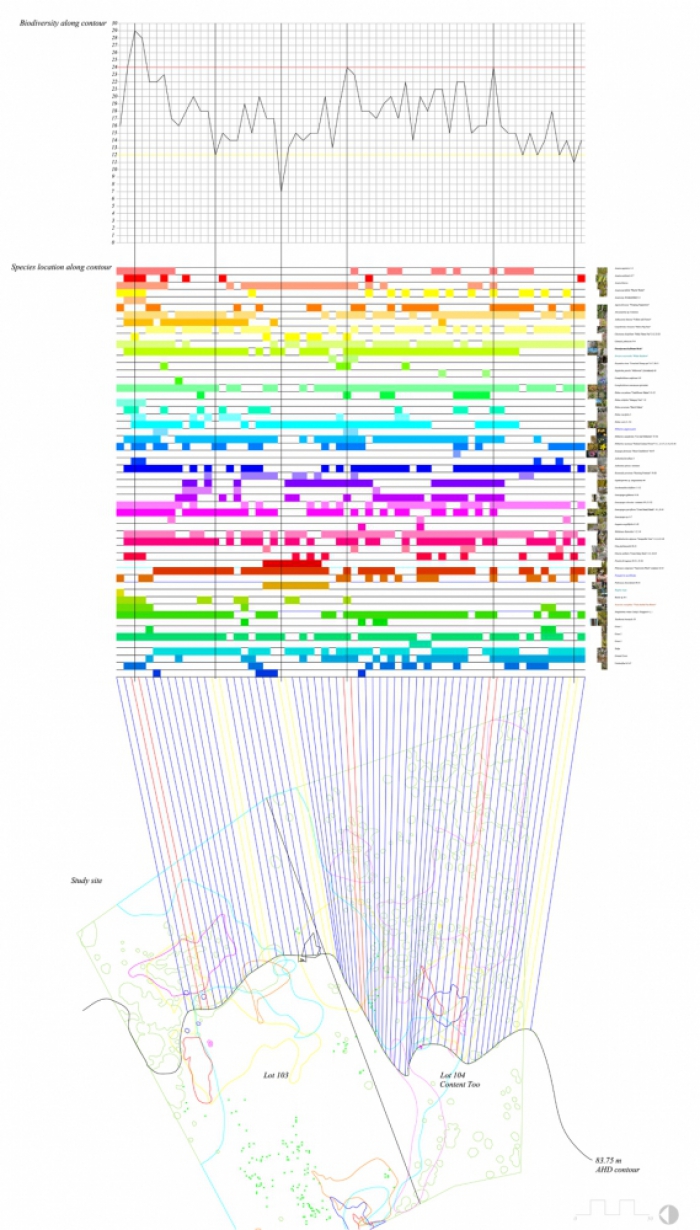
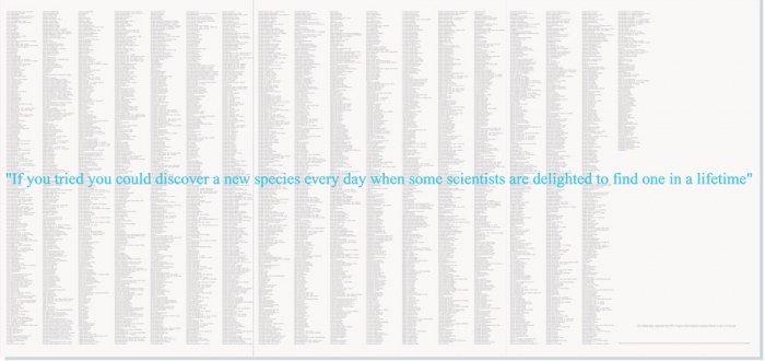
Ian Weir Architect primarily works within a discrete geographic region – the Fitzgerald Biosphere Reserve (or Bioregion) on the remote south-east coast of Western Australia. The landscape here is characterised by ‘kwongkan’ - a low lying heath on infertile soils. Kwongkan landscapes represent some of the most botanically diverse landscapes on earth yet they are also highly fire prone and poorly understood.
Dr Weir’s theoretical writing, architectural projects and art practice have since 1996 – sought to elevate appreciation for Kwongkan and the opportunities it presents for innovation in the areas of landscape representation and spatial design.
In Australia, if you live in a designated bushfire prone area (usually any area within 100 metres of bushland which is greater than 1 hectare in area) then you must comply with AS3959:2009 Construction of Buildings in Bushfire Prone Areas. The standard is in two parts. Part 1 sets out the Bushfire Attack Level (BAL) assessment methodologies (there are two methods). Part 1 determines the BAL rating based on four variables: the Fire Danger Index for your state/climatic region; the vegetation type and structure of the site; the slope under that vegetation; and the distance of that vegetation for the exterior walls of the dwelling. There are six BAL levels ranging from BAL-Low, BAL-12.5, BAL-19, BAL-29, BAL-40 to BAL-FZ (Flame Zone). Part 2 sets out the construction specifications for building to each of the determined BALs.
The greatest constraint to the application of the standard is the reticence of fire authorities and local governments across the country, to support the two highest levels of bushfire design BAL-40 and BAL-FZ.
The perception here, one assumes, is that for home owners to build to these levels would create a false sense of security, placing them in unexpectedly high levels of danger. However, the principle of the standard is that building to each BAL level presents the same level of risk or exposure to the dwelling: the lower the BAL – the greater the distance from the hazard/vegetation.
Nevertheless agencies encourage the building of conventional houses with low to mid-range BAL level features – no higher than BAL-29 – and then expect the homeowner to actively manage the vegetation hazard.
The problem that we see every fire season is that these active measures are frequently not carried out despite the many annual warnings for home owners to be prepared for bushfires.
For the fire authorities to promote this approach is somewhat paradoxical because the first principle of risk mitigation is to prioritise passive protection (such as building better bushfire protection) over active measures (keeping hazard vegetation cleared). Compared to permanent building features, landscapes are highly dynamic and far less dependable.
Ian Weir Research Architect seeks to reconcile bushfire safety and biodiversity conservation though an integrated design approach that places greater emphasis on building design and human behaviour than on the perpetual management of vegetation.
The Fitzgerald Bioregion provides the perfect biophysical and cultural landscape to explore this counterpoint between bushfire and biodiversity, a counterpoint that is borne out and addressed by that vehicle of daily habitation - architecture. Indeed what can this region do for expanding our understandings of the role of architecture.